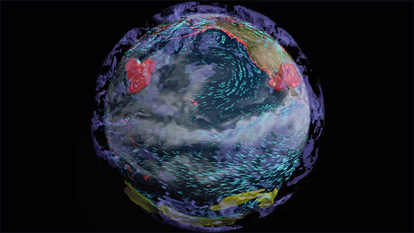
Devin White, Senior Researcher at Oak Ridge National Laboratory shares how they are using GPUs to improve the geolocation accuracy of imagery collected by a satellite, manned aircraft, or an unmanned aerial system.
Using Tesla K80 GPUs and CUDA, the researchers in the Geographic Information Science and Technology Group at ORNL developed a sensor-agnostic, plugin-based framework to support photogrammetric and computer vision processing tasks like image registration and orthorectification.
Read about Devin’s work in more detail on his recent GPU Computing Spotlight interview on Parallel Forall.
Share your GPU-accelerated science with us at http://nvda.ly/Vpjxr and with the world on #ShareYourScience.
Watch more scientists and researchers share how accelerated computing is benefiting their work at http://nvda.ly/X7WpH
Share Your Science: Improving the Geolocation Accuracy of Aerial and Orbital Imagery with GPUs
Sep 07, 2016
Discuss (0)

Related resources
- GTC session: Using Next-Generation Geospatial Applications and 3D Visualizations to Improve Climate Risk Resilience Strategies
- GTC session: Energy-Efficient GPU Computing With Mixed-Precision Modeling for Climate/Weather Applications
- GTC session: Transforming 2D Imagery into 3D Geospatial Tiles With Neural Radiance Fields
- SDK: IndeX - Amazon Web Services
- Webinar: Using GPUs to Accelerate HD Mapping and Location-Based Services
- Webinar: Isaac Developer Meetup #2 - Build AI-Powered Robots with NVIDIA Isaac Replicator and NVIDIA TAO